

The Baton Rouge area will be under an extreme cold watch late Friday night through Sunday morning, as a second blast of arctic air sweeps into the area, a National Weather Service spokesman said.
The extreme cold watch issued for this weekend was expected to be upgraded to a ŌĆ£warningŌĆØ as meteorologists became more sure of their forecast, said Phil Grigsby, a meteorologist with the weather agencyŌĆÖs Slidell Office.
Lows late Friday night are expected to be in the mid- to-low 20s, with wind chills in the low teens, he said.
ŌĆ£ItŌĆÖs going to be really cold during the day Saturday, too,ŌĆØ with a high near 35, Grigsby said.
Saturday night will see the coldest temperatures for the weekend, down to 17 to 19 degrees, he said.
The extreme cold watch will remain in effect through Sunday at 10 a.m.
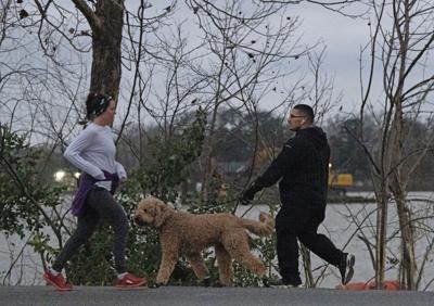
ŌĆ£Frostbite and hypothermia will occur if unprotected skin is exposed to these temperatures,ŌĆØ the weather service said. ŌĆ£Dress in layers, including a hat, face mask and gloves if you must go outside.ŌĆØ
Despite the super chill, all three Carnival parades in the Baton Rouge area will roll this weekend, krewes confirmed on Thursday.
The Krewe of Oshun in Baton Rouge parade is set for noon, while the Krewe of Denham Springs parade is scheduled for 3 p.m. The Krewe of Chemin Neuf is set for 5 p.m. Saturday in New Roads.
"The party is still on, but itŌĆÖs going to be a chilly one! We are officially rolling at our normal time of 12:00 PM," Oshun posted on Facebook.
Baton Rouge will warm up a little on Sunday afternoon, when a high of 45 is expected.
Sunday night into Monday morning will be in the mid-20s, but the winds will be lighter, Grigsby said. The last freeze for this cold front will come Monday evening, with temperatures in the low 30s.
Warmer weather is expected next week, beginning on Tuesday, Grigsby said.
TuesdayŌĆÖs high is forecast to reach 60.
ŌĆ£Then we keep warming up,ŌĆØ Grigsby said.
Next week, the weather will be more typical for Baton Rouge this time of year, with highs in the mid 60s and lows in the 40s.
ŌĆ£There will be clear skies ŌĆö no frozen precipitation,ŌĆØ Grisby said.